Nationwide land-use data II (based on remote sensing)
Aim of the cooperation: Scientific exchange and cooperation between the Biodiversity Exploratories and the MonViA project
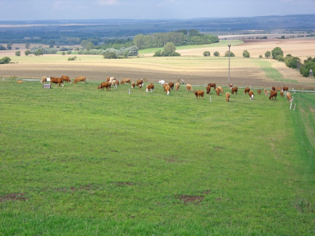
The common goal of MonViA and the Biodiversity Exploratories is to analyse the influence of agricultural production and land- use change on biodiversity in the open landscape.
To this end, data on the following parameters will be collected:
– Land-use and management measures on grassland areas (EPs and surroundings)
– Agricultural use in the vicinity of the EPs
Jointly, satellite-based methods for the area-wide characterization of land- use diversity and land -use intensity in the open landscape of the Exploratories will be further developed and validated.
Further information about the co-operation project can be found here: https://www.agrarmonitoring-monvia.de/en/trend-monitoring/monitoring-the-diversity-of-habitats/nationwide-land-use-data-ii-based-on-remote-sensing
Scientific assistants