Quantifying the impact of forest management intensity and neighborhood diversity on individual tree shape and canopy space filling

The intensity of silvicultural interventions such as thinnings or final harvests as well as the choice of the tree species to be cultivated are two basic silvicultural management decisions. However, our knowledge on the effects of silvicultural management intensity or different neighborhood diversities on distinct changes in tree architecture is still small, especially if the focus is laid on single tree attributes, e.g. branching pattern or crown deformations. This was due to the general inaccessibility, size and complexity of the study object “forest”, especially if the canopy layer is also to be considered. Furthermore, little is known yet about the patterns of canopy space exploration and how it is affected by tree diversity and management activities.
1. Crown structural parameters vary significantly between different levels of management intensity and neighborhood diversity
2. Canopy space filling increases from low to high tree species diversity and from high to low management intensity
First, we are aiming at identifying the distinct tree structural attributes that are changed by different intensities of management (management effect). Secondly, we will attempt to reveal general pattern of alterations in a tree‘s spatial structure depending on neighboring tree-identities (diversity or species identity effect). Thirdly, we will study whether or not the often proposed spatial complementarity of different tree species architectures (crown forms) results in a higher space occupation due to niche partitioning.
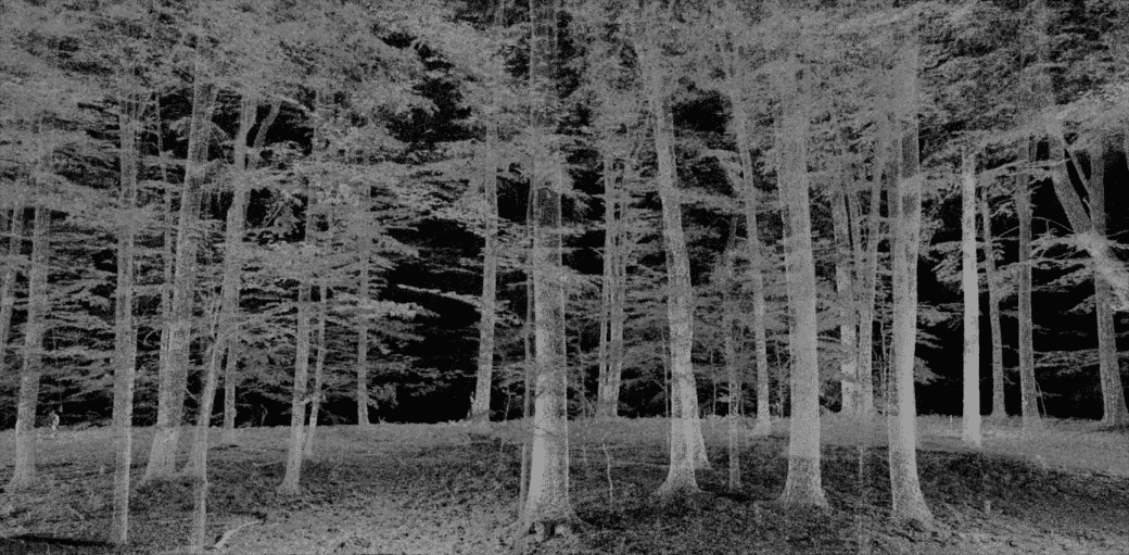
1. By the use of terrestrial laser scanning, a detailed, three-dimensional model of each stand will be created. We will use separated point clouds (individual trees) but also combined point clouds from the entire stand for further analysis.
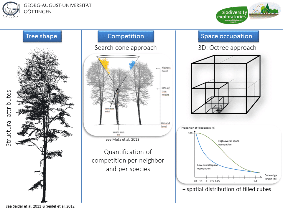
2. An algorithm that examines both stem and crown will be used to derive a large number of structural attributes of each tree individual including competition.
3. An octree- approach will be used to assess the three-dimensional space-filling in detail. Therefore each plot‘s point cloud (32×32 m) is successively divided into smaller sub-cubes (16m, 8m, 4m …, 25cm) that are tested for containing plant material or only empty space.
Our project aims at investigating processes that can only be explained by three-dimensional information obtained from several scanning perspectives (multi-scan approach). Due to a multiplied effort for data acquisition in the field and the need for time-consuming registration procedures that combine different scanning perspectives on the same scene, the present study will focus on the VIPs.


