Schorfheide-Chorin Exploratory
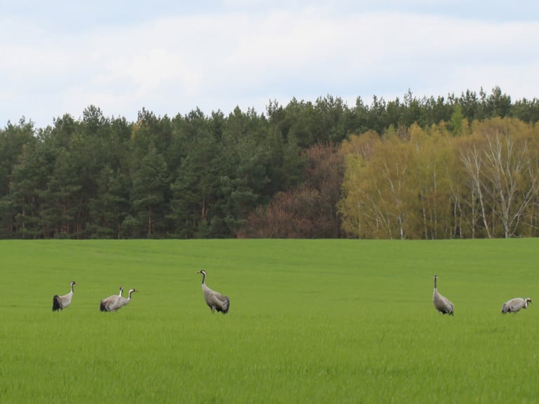
The Schorfheide-Chorin Exploratory is located north of Berlin in the part of Germany that was shaped by the ice age. Sander areas as well as hilly ground and terminal moraines with numerous lakes characterise the landscape and offer with their different soils the basis for a varied vegetation. Cranes, white-tailed eagles and black storks are among the most impressive animal inhabitants of the Schorfheide. In 1990, the Schorfheide-Chorin region was declared a biosphere reserve.
The Schorfheide-Chorin Exploratory is located in one of the largest protected areas in Germany, the UNESCO Biosphere Reserve Schorfheide-Chorin, which was established in 1990 on an area of 1,300 km². The glaciers of the last glaciation left a structurally rich landscape here after melting 10,000 to 15,000 years ago. Outwash plains, ground and terminal moraines characterise the landscape and, with their different soils, form the basis for varied vegetation. With 480-580 mm annual precipitation, the area is one of the driest parts of Germany.
| Area | 1,300 km2 |
| Annual precipitation sum | 480 mm in the East, 580 mm in the West |
| Elevation | 3-140 m a.s.l. |
| Typical plant species | Moor vegetation, e.g., bug cotton, marsh tea |
| Dominant forest type | Pine - durmast oak forests, beech and mixed beech forests |
| Characteristic management types | Large-scale logging in the forest (historically it was clear-cutting); Extensive grassland management, predominantly mowed pasture with cattle grazing, sheep grazing on dry grasslands. |
| Specific information | World Natural Heritage Beech Forest Grumsin, glacial young moraine landscape with 240 lakes, numerous small water bodies and moors |
The biosphere reserve
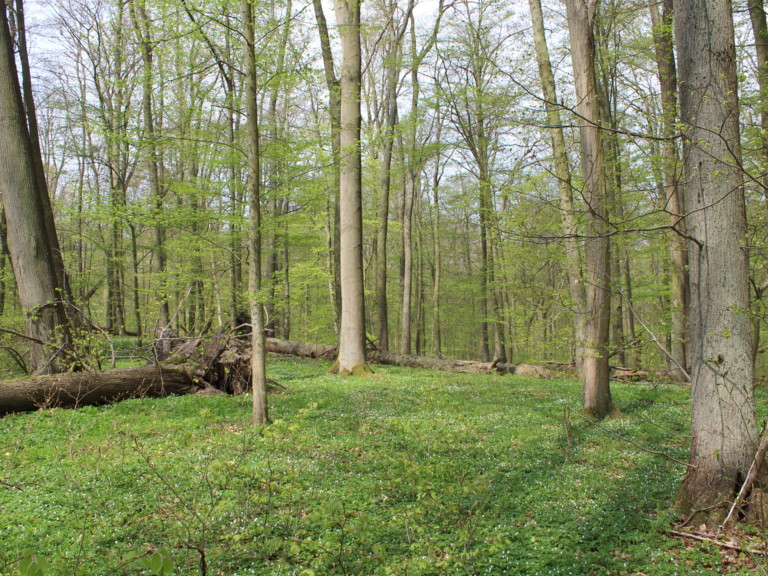
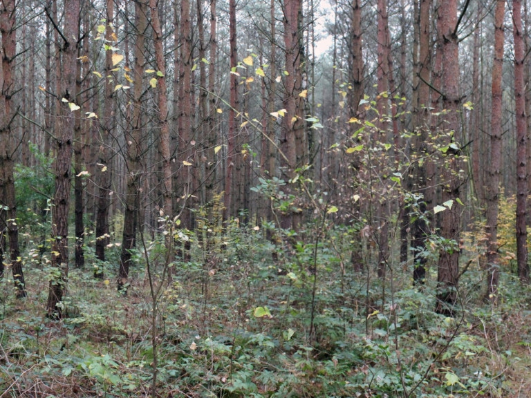
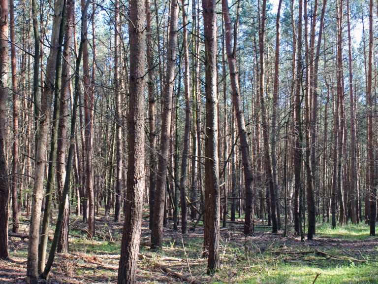
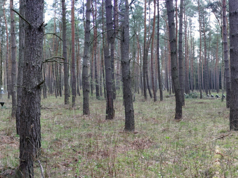
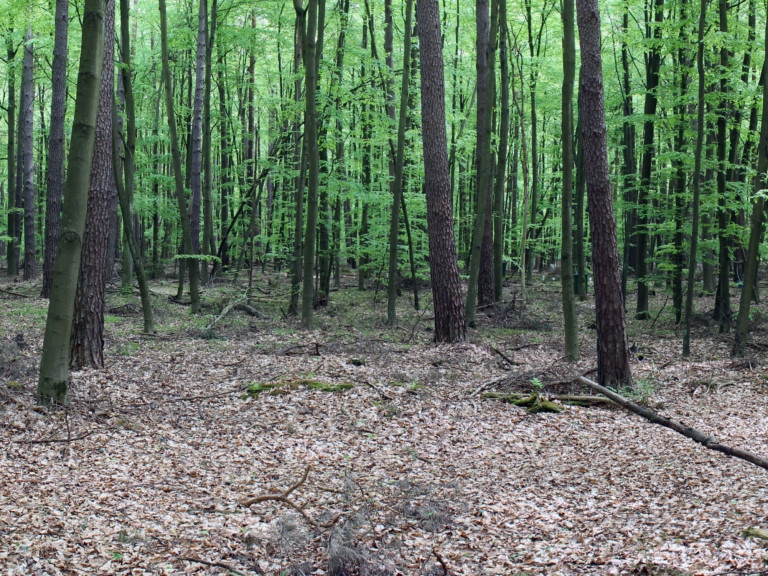
The biosphere reserve encompasses an impressive young glacial landscape with around 240 lakes, thousands of moors and extensive forests. The forests range from natural old beech forests with trees over 100 years old to mixed forests and intensively managed pine monocultures. Such stands are increasingly underplanted with beech. The majority of the forests are managed as Age class forests, the unmanaged forest areas in the nature development areas have not been used for forestry since 1990. Part of the beech forests was included in the UNESCO World Heritage List in 2011. This distinction is inspiring more and more people to visit the region. The forests of the Schorfheide were an important state hunting ground from the age of the Kurfürsten in medieval times until the recent past. Today, about ¼ of the forests are in private hands.
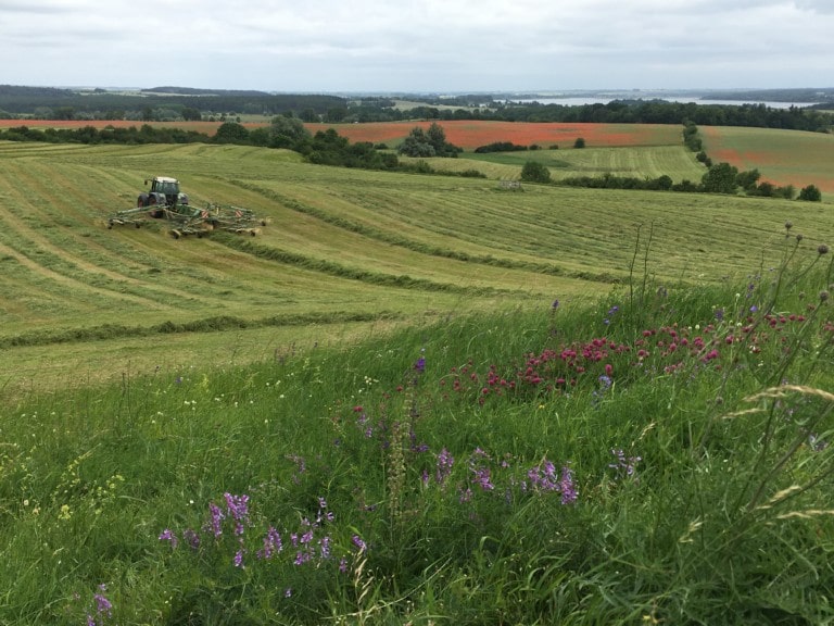
In the non-forested areas cleared agricultural land is dominant, whereas mown and grazed grassland is only poorly represented. In addition to small family businesses, both in main and part-time occupation, large agricultural companies with up to more than 1,000 ha of farmland characterize the agricultural landscape. An increasing proportion is farmed according to the principles of organic farming.
Geology
The soils at the Schorfheide-Chorin Exploratory consist mainly of glacial sediments including their periglacial overprinting and, in contrast to the other two exploratories, often show sandy soil types. However, soil type can vary greatly over small areas. For example, there are also sites where stony, clayey ground moraine material is close to the surface. While podsol brown earths predominate as soil type under forest, anmoorgleye are typical for grassland. Since grassland sites are often located in lowland areas, their soils are usually influenced by groundwater.
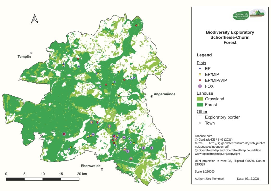
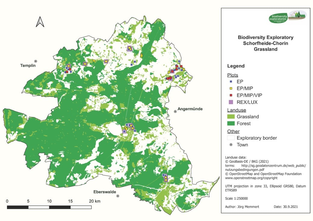
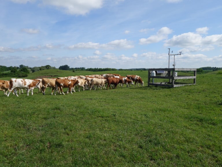
Using inventories from 1.000 plots surveyed per exploratory, 100 so-called experimental plots (EP) (50 in forest and 50 in grassland) were selected and permanently marked. These 100 plots cover the widest possible range of land use intensities in the region, but differ as little as possible in other variables such as soil type. In forest, these experimental plots have a size of 100 x 100 m, and in grassland, 50 x 50 m. Each of the plots is equipped with a climate measurement station within a 3 x 3 m fenced area.
Depending on effort and cost, experiments can be conducted not only on all 100 EPs, but also on subsets of 50 (so-called MIP, medium research intensity) or 18 (so-called VIP, very intensively studied plots) study plots.
Forest
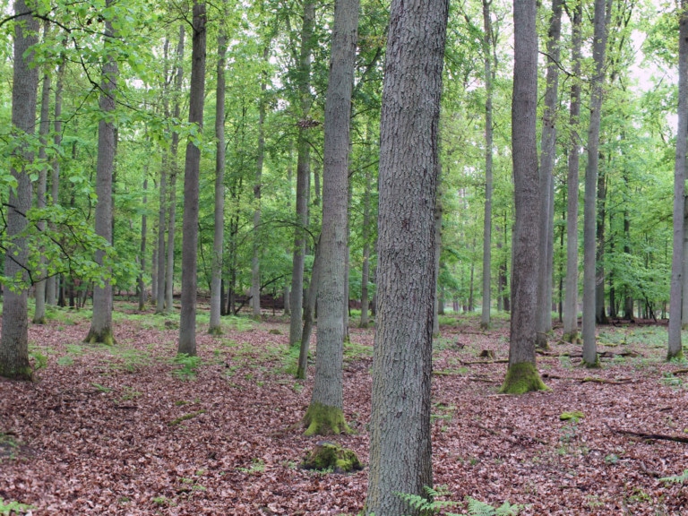
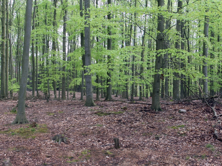
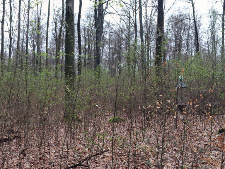
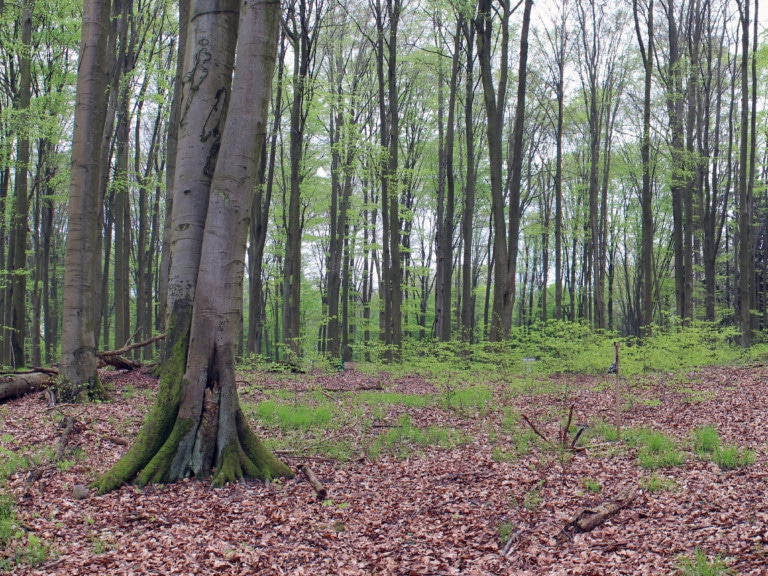
The forest use gradient to be investigated ranges from pine forests to pine-beech semi-forests and managed oak and beech forests to semi-natural unmanaged beech forests in the nature development areas of the biosphere reserve. The study areas are predominantly located in the state forest of Brandenburg, but also in private forests.
The experimental plots in forests (n = 50) cover the following forest land use types:
- Pine forest, stemwood
- Pine forest, young timberwood
- Pine forest, timberwood
- Pine-beech mixed forest, timberwood
- Oak forest, timberwood
- Beech forest, timberwood
- Beech forest, timberwood with regeneration
- Unmanaged beech forest
Grassland
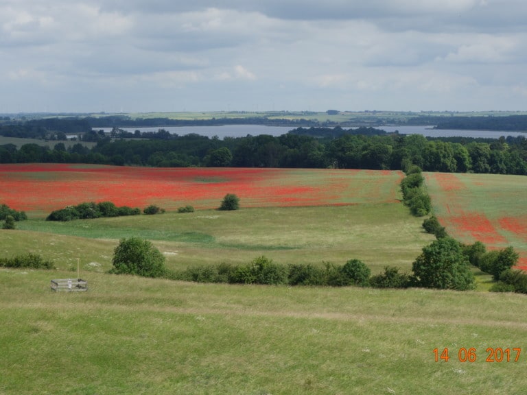
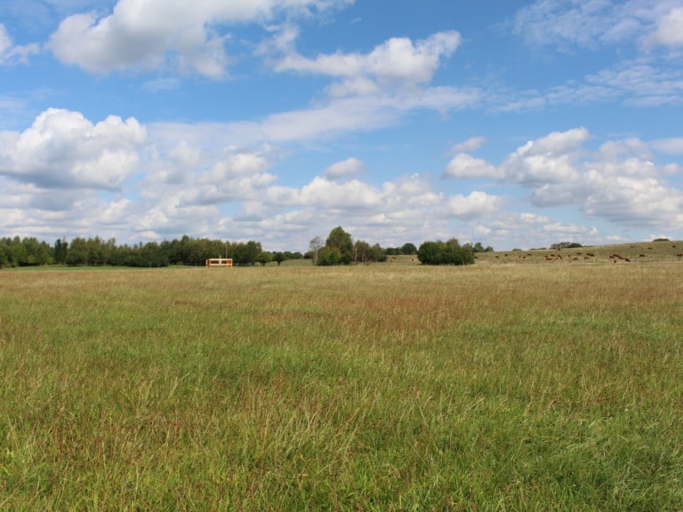
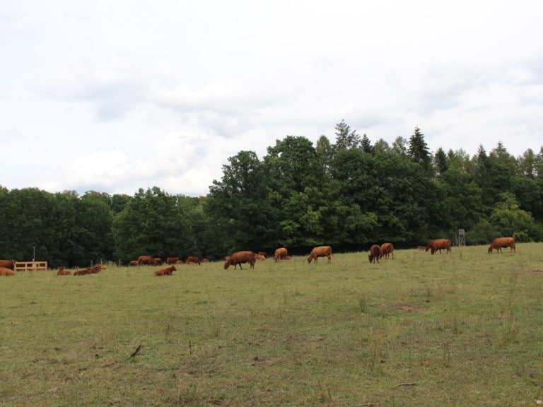
The spectrum of land use types in the grassland includes mowed meadows, cattle pastures, and a combination of mowing and grazing (mowing pastures). A special feature in the Schorfheide-Chorin Exploratory is the extensive low moorland. Accordingly, the experimental plots are located both in low moorland and on mineral soils far from groundwater. Most of the farms cultivate more than 500 ha of land. The study plots are located on both conventional and organic farms.
The experimental plots in grasslands (n = 50) cover the following land use types:
- Meadows unfertilised with 1-2 times mowing
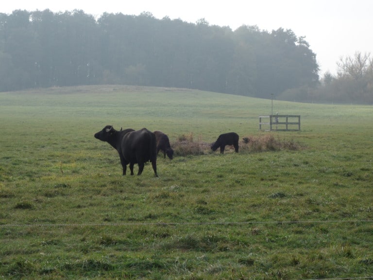
- Mowing pastures unfertilised with cattle, water buffalo, sheep grazing
- Mowing pastures fertilised with cattle grazing
- Pastures fertilised with cattle grazing
- Pastures unfertilised with cattle grazing
The Exploratories cooperate with a large number of different institutions and persons, such as authorities, agencies and the owners and tenants of the study plots. For this we would like to say “thank you”.
Landowners, tenants, managers, forestry offices, nature conservation authorities and protected area managers allow us access to the study areas. This is crucial for the scientific success of the Biodiversity Exploratories. We therefore sincerely thank all persons and institutions for their good and long-standing cooperation. We are also enriched by the intensive and long-standing exchange of information between scientists from the Biodiversity Exploratories and representatives from agriculture, forestry and nature conservation. We therefore look forward to continuing this dialogue in the future.
For our partners in practice, we provide practice-relevant research results from the Biodiversity Exploratories on the page Praxis.Wissen (in German) briefly and in a generally understandable way.
Website of the protected area:
Biosphärenreservat Schorfheide-Chorin
Grassland:
- Gut Temmen
- Weidewirtschaft Liepe
- Biolandhof Haferkamp
- Lehrschäferei Friedrichsfelde
- Landwirtschaftsbetrieb Reiner Wegner (Inhaber Kai Spreemann)
- ABP Landwirtschaft Neugrimnitz
Forest:
- Landeswaldoberförsterei Groß Schönebeck
- Landeswaldoberförsterei Reiersdorf mit den Revieren Krienertseen, Stegelitz und Ringenwalde
- Oberförsterei Eberswalde
Frau Constanze Simon (Leitung)
Herr Dirk Weier (Revier Joachimsthal)
Herr Uwe Birlem (Revier Oderberg) - Oberförsterei Milmersdorf

Local Management Team Schorfheide-Chorin
Biodiversity Exploratory Schorfheide-Chorin
Senckenberg Gesellschaft für Naturforschung
Senckenberg Biodiversity and Climate Research Centre
Office Biodiversity Exploratory Schorfheide-Chorin
Hoher Steinweg 5-6
16278 Angermünde
Field station Biodiversity Exploratory Schorfheide-Chorin
Zur Kastanienallee 10
16278 Angermünde/OT Wolletz
Contact:
explo.sch@senckenberg.de
Phone: +49 (0) 3331 296891 (Office Angermünde)
